 English
 French
 German
 Russian
 中文
中文

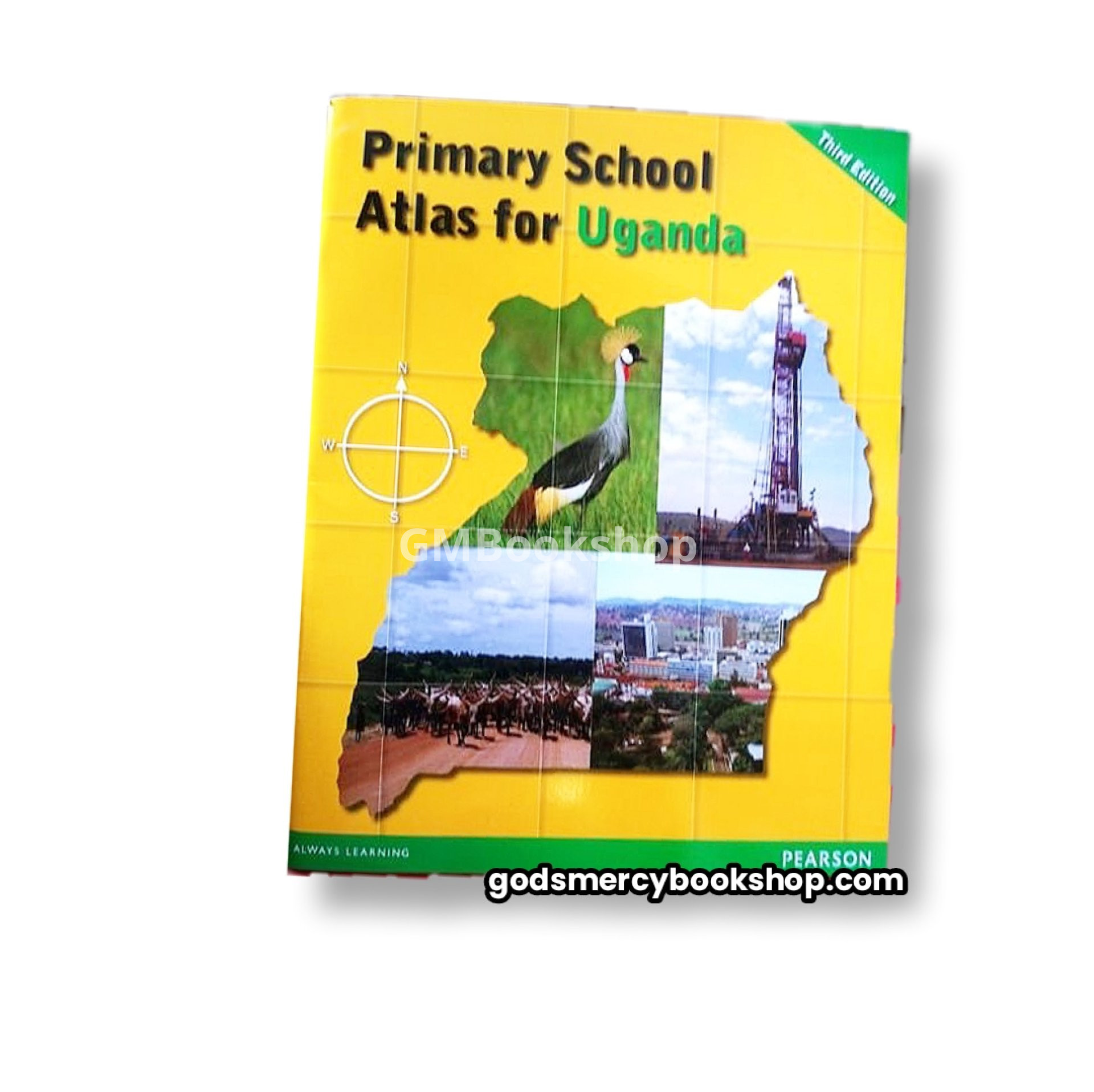
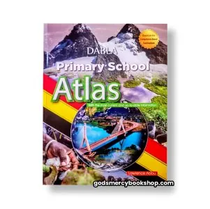
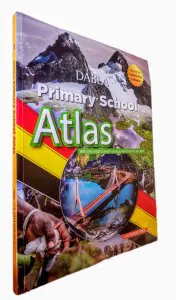
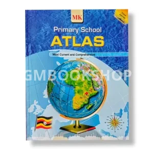
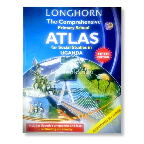
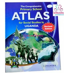
Primary School Atlas for Uganda by Pearson is a resource that helps primary school students learn about the geography of Uganda and the world. It is based on the national syllabus and examination requirements for primary schools in Uganda . It is a user-friendly and comprehensive atlas that covers topics such as drawing the round earth, earth's rotation, structure of the earth, tectonic plates and plate movements, latitudes and longitudes, volcanoes, earthquakes, climate, population, culture, economy, and environment .
Some of the features of this atlas are:
- It has high-quality maps, photos, diagrams, and graphs that illustrate the physical and human aspects of the world. You can zoom in and out of the maps, view different layers of information, and compare different regions and countries.
- It has a user-friendly layout, clear symbols, legends, scales, and indexes that make it easy to navigate and use.
Primary School Atlas for Uganda by Pearson is a valuable tool for students who want to explore the world and learn more about its diversity and complexity. It will help them develop their spatial skills, critical thinking, and global awareness.
| Shipping Cost |
|
| Product Location | GODS MERCY BOOKSHOP, New taxipark, Freeman building, Shop 674, Central Region, Uganda |
No reviews found.

No comments found for this product. Be the first to comment!